Know your farm's health
in hours, not weeks.
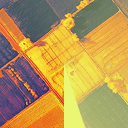
AgriBugs gives farmers field-wide crop health maps within 24 hours, enabling early detection of irrigation failures, disease, and pest pressure before they reduce yield or increase input costs.
Trusted by researchers at


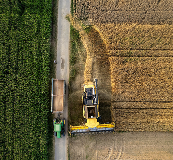
Too many fields. Not enough time.
Acres monitored

Active farms
.svg)
Data points analyzed
Average yield increase

More fields. More visibility. Same team.
We fly your clients' fields and deliver processed crop health maps within 24 hours. You get field-wide visibility into stress patterns, irrigation issues, and early disease indicators, so you can prioritize where to send scouts and when to take action.
From flight to action in 24 hours.

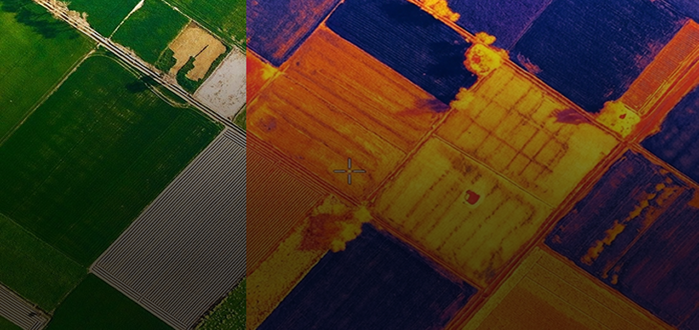
See the whole field, not just the rows you walked.
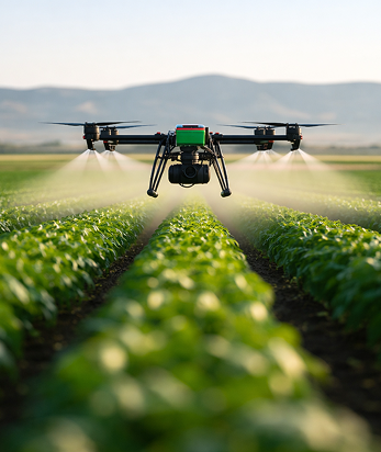
Our drone flights capture multi-spectral imagery across the entire farm in a single pass. Instead of sampling a few rows and hoping you didn't miss anything, you get a complete stress map showing exactly where problems are developing.

NDVI stress maps
Thermal imaging
Early disease indicators
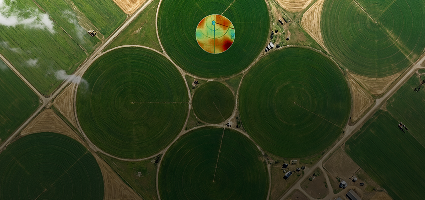
24 Hrs turnaround means next-day action.
We fly, process, and deliver your maps within 24 hours. When your client receives a stress map on Tuesday morning, they can dispatch a scout to the exact problem zone by Tuesday afternoon.


Zone 2 needs ground check
.png)
Pest Alert Detected
Aphid cluster identified in Zone B3. Recommended action: targeted spray within 48 hours.
Scale your practice without scaling your payroll.
Our system helps crop consultants spend less time driving and more time helping farmers make better decisions. Autonomous field scouting delivers frequent aerial data directly from the field, giving you a clearer picture of crop health across every acre. With earlier detection of stress, pests, or irrigation problems, you can help farmers act sooner and avoid costly losses. The result is lower input costs, better yields, and stronger trust between you and your growers."
.png)
NDVI stress maps
4 Required Checks
2 Alerts

Pyrenees
Early detection that drives action.
.png)
Stand Count
Verify emergence uniformity and identify replant zones
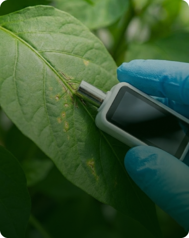
Early Disease
Detect signatures before visible symptoms appear
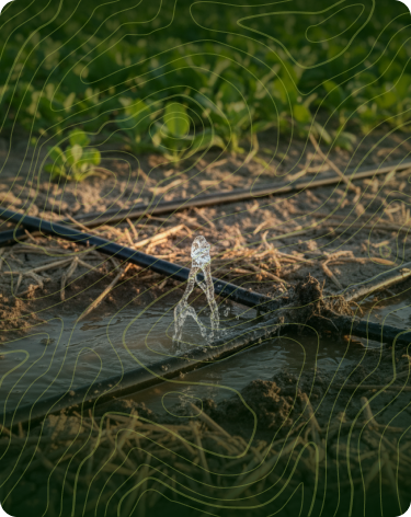
Drip Line Problems
Flag blockages and leaks affecting rows
Real research. Real results.
.png)

APS Online Publications
UAV-Assisted Multispectral Crop Scouting for Gummy Stem Blight in Watermelon
.png)

Solvi
Drone-based precision ag improves efficiency, but growers need proven results before investing
.png)
.png)
Fresno State
Scaling agri-tech startups through mentorship, funding access, and real-world farm validation
Patents on center pivot integration and off-grid autonomous operations
10+ years of agricultural flight data and research
IoT4Ag Innovation Award winner
Built for autonomous monitoring.
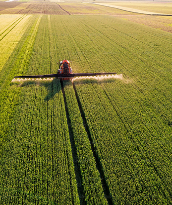
We've spent 10 years and 30,000 acres perfecting aerial crop intelligence. Our patented drone-dock system integrates directly with center-pivot irrigation infrastructure, enabling continuous field monitoring without human presence.
Get in touch
To find out more about our services, or if you are interested in joining our team, contact for more information

